Weather in your area?

Homesteading & Country Living Forum

Help Support Homesteading & Country Living Forum:

This site may earn a commission from merchant affiliate links, including eBay, Amazon, and others.
We had a storm last evening. The rain started and stopped a few times. There was hail, and at my house it was less than the size of a dime, but I heard other places got nickel sized hail. I had a chance to cover tomatoes and herbs, so it was good at my place. I am watering gardens at two places this weekend and will go check them out later today. I'll bet they received damage. Edited to add, we got 3 inches of rain.
 
Last edited:
two_atl_5d0.png


https://www.nhc.noaa.gov/gtwo.php

Water temps near 90 degrees....this is gonna blow up into a tropical storm or possibly even a hurricane if it sits there for a day or two. Rain every day spinning off this system.
 
At the least, it will become a tropical storm. At worst, if it is a slow mover, it could become a hurricane by this weekend.

https://www.nhc.noaa.gov/gtwo.php

ZCZC MIATWOAT ALL
TTAA00 KNHC DDHHMM

Tropical Weather Outlook
NWS National Hurricane Center Miami FL
800 AM EDT Wed Jul 10 2019

For the North Atlantic...Caribbean Sea and the Gulf of Mexico:

1. A broad low pressure area located over the northeastern Gulf of
Mexico about 100 miles south-southwest of Apalachicola, Florida,
is producing widespread cloudiness and disorganized showers and
thunderstorms. Environmental conditions are conducive for
development of this system, and a tropical depression is expected
to form late today or Thursday while the low moves slowly westward
across the northern Gulf of Mexico. An Air Force Reserve Unit
reconnaissance aircraft is scheduled to investigate the disturbance
this afternoon. This system could produce storm surge and tropical-
storm- or hurricane-force winds across portions of the Louisiana,
Mississippi, and Upper Texas coasts later this week, and interests
there should closely monitor its progress. In addition, this
disturbance has the potential to produce very heavy rainfall from
the Upper Texas Coast to the Florida Panhandle. For more
information, please see products issued by your local weather
forecast office and the NOAA Weather Prediction Center.
* Formation chance through 48 hours...high...90 percent.
* Formation chance through 5 days...high...90 percent.

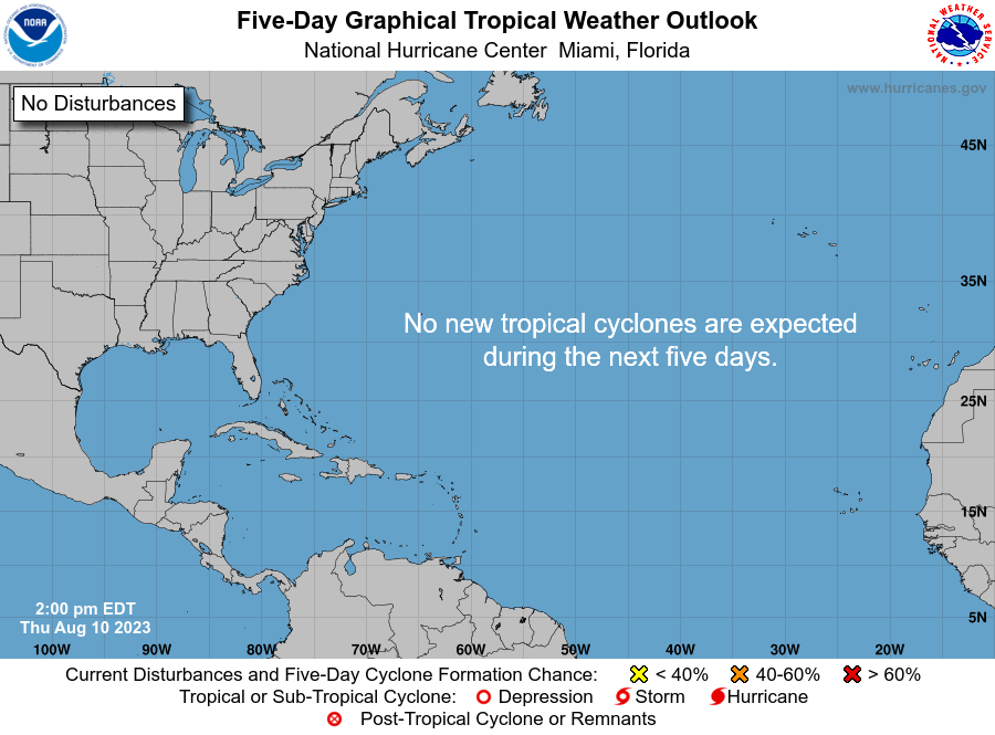
two_atl_5d0.png
 
It is now official...tropical depression, next a tropical storm (Barry, I think), 100% CHANCE OF FURTHER DEVELOPMENT, and if it sits out there a couple days, probably a CAT 1-2 hurricane before it curves back into land.

https://www.nhc.noaa.gov/gtwo.php

two_atl_5d0.png


Right now, they are predicting N. Orleans to Beaumont as the area of next landfall.
 
Past couple months lots of clouds, lightening, thunder and little rain so its storms without rain considering.
We do get some rain but not really enough. :dunno: whats up.
 
The storm clouds here have been on a bender the last 24 hours because of the tropical storm. There are 2 dozen storm clouds out right now... I'm not kidding, they are drunk as skunks! They have been wandering aimlessly around the state since last night.

Over the last 2 weeks I got .2 inches... this afternoon I got and inch, that cloud wondered off to the south, then west, then north. This same storm is now headed back to me from the northwest and will probably drop another inch. The thunder is rattling my window now!

There is no predicting where any of this is going... literally, they are falling down drunk!
 
Quite this morning... the storms must be sleeping it off.

Rain bands out of the gulf already 100 miles inland, will be here by late afternoon.

This is what happens when you are just outside of the circulation of a cain or TS. You get drunken storms that wander aimlessly and change directions often. In a way it's entertaining to watch them on radar. :D
 
Weather here in northern Utah has been extremely weird this year. Long, cold, wet spring. Even after summer's late arrival (it just happened here within the last two weeks), we're still getting monsoon rains nearly every afternoon. And crop yields are suffering from the weird weather.

And my prayers are with all the folks in the path of the tropical storm/hurricane. It sounds like New Orleans is in a world of hurt again: double whammy of Mississippi River reaching record levels at the same time Barry is rolling in. Yikes!
 
Since Barry was upgraded to a TS I've gotton a whopping .92 inches of rain... It's been hit or miss, kinfolk 15 miles to the sw got over 4 inches of rain.

Late this afternoon I got a huge .56 in an hour. Looks like small storms will be coming through the rest of the night... and over the next couple of days.
 

Latest posts

Back
Top